
Two students are seeking the most efficient delivery route from a concrete batch plant in San Luis Obispo to a Cal Poly construction site – and they think data collected from unmanned aerial vehicles could help.
“This data will help determine not only the best route to take but also the optimal time to leave based on local traffic patterns,” said Robert Sprotte, one of two civil engineering students working on the project as a part of the Summer Undergraduate Research Program.
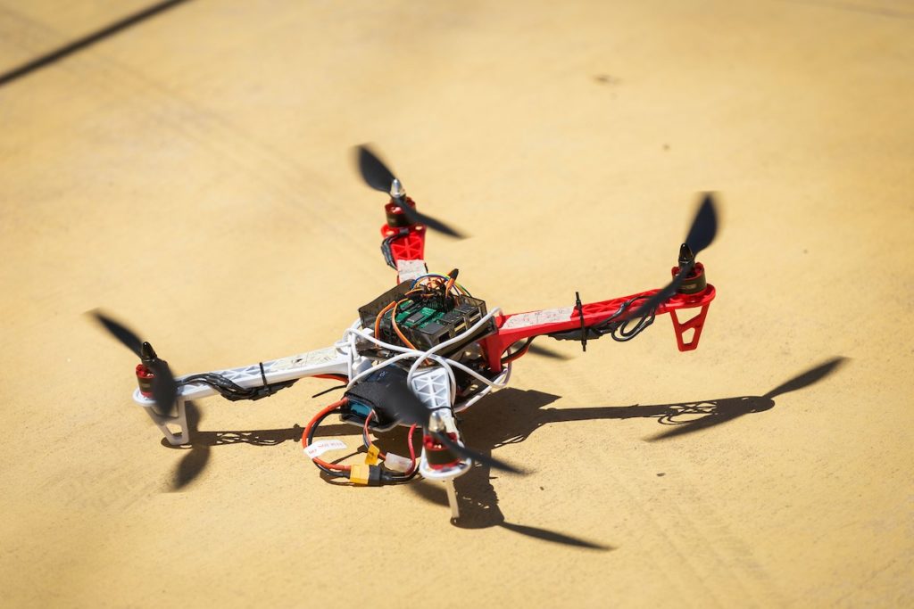
He and project partner Andrea Leal are working with faculty advisor Hani Alzraiee, an assistant professor in the department, on using UAV’s (sometimes called drones), along with historical traffic data, to help make construction operations more efficient.
At construction sites, UAVs can be used for several functions, Alzraiee said, including topographic mapping and land surveys; construction equipment tracking for safety purposes; progress monitoring; bridge and road inspection and more.
“Everything is about having reliable data about the construction sites before and during construction,” Alzraiee said. “The more accurate and comprehensive data you have, the better will be the planning and decision-making process.”
The SURP project seeks to show practical applications of UAVs in solving real construction and infrastructure problems.
A few contractors use UAVs for measuring stockpile, Alzraiee said, and many government transportation departments are exploring using them for inspection and construction safety. Yet, Alzraiee said, in general, there has been a reluctance to use UAVs.
“The construction industry is resistant to change,” Alzraiee said. “Deploying a technology of this caliber can take time to settle in with current practices or to replace it.”
The SURP project seeks to show practical applications of UAVs in solving real construction and infrastructure problems. For instance, at transportation departments, inspectors are often at risk when they are working on roads inspecting pavement conditions.
“For this reason, UAVs are especially helpful to survey sites that are particularly hazardous for workers to be exposed to, such as roads with high speeds,” Leal said. “UAVs can also capture images of remote regions in a state that are not accessible to people.”
Both Sprotte and Leal had previous experience with UAVs and construction prior to working on the SURP project. Leal has worked on using drones and machine learning to automatically detect pavement marking defects
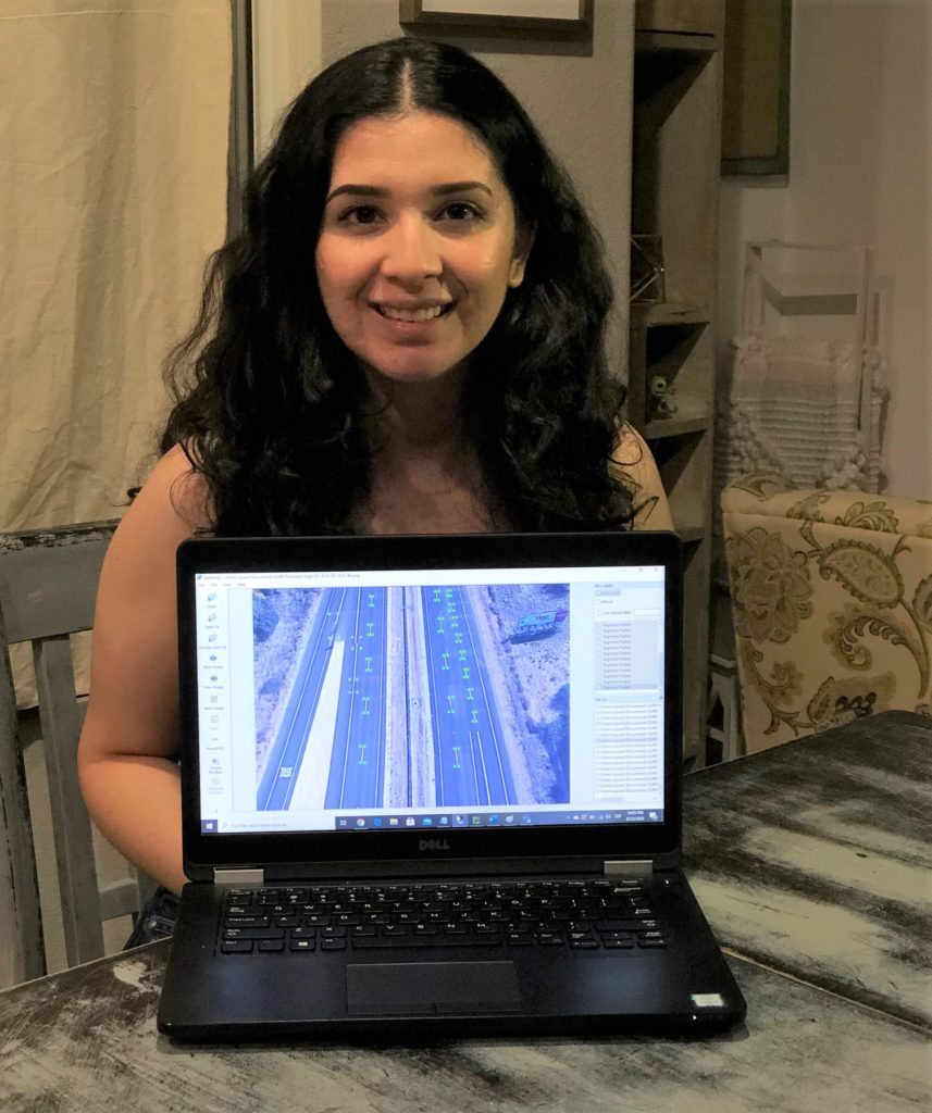
“In the second part of the SURP project, we are focusing on collecting road markings data using drones then using machine learning to identify the road marking defects,” Alzraiee said.
The Civil and Environmental Engineering Department has acquired UAV and Terrestrial Laser Scanning (TLS) equipment. However, since all SURP projects this year are virtual due to the COVID-19 pandemic, the students are using data collected from Google Maps, which is similar to data UAVs would collect, as well as data provided by industry partners.
In their project, the students are creating a computer simulation model to determine the most efficient route for delivering concrete to Cal Poly, analyzing the two main entrances – Highland Drive and California Boulevard. The analysis includes vehicular traffic assessments and a discussion of the impacts pedestrian and bicycle traffic could have on concrete delivery – particularly during mornings and passing periods.
“During my research, I discovered that modeling and simulation is utilized in all kinds of industries and can be especially helpful in construction, where precise scheduling and planning is very important,” Sprotte said.
The second part of the SURP project entailed the development of a framework for a pavement marking identifying tool. By integrating machine learning, convolutional neural networks, and road maintenance, the students were able to create a methodology for an automated system that collects road data, analyzes it for feature extraction, and classifies it based on its defect.
While the project can help demonstrate the benefits of UAVs in construction, for the students it also provides relevant experience with an emerging technology.
Both Leal and Sprotte are interested in project planning and management.
“The knowledge I will gain through this SURP experience about emerging technologies and simulation modeling in construction will be very beneficial in helping to execute efficient and successful projects,” Sprotte said.
“Working and researching in areas outside of my major revealed how the integration of different fields of study pave the way for innovation,” Leal added.