Cal Poly and California State Parks are teaming up to offer a new “Tide and Seek” photo game during this season’s king tides along the San Luis Obispo County coast, with an event stand open from 8:30 to 10 a.m. Friday, Dec. 5, at the Morro Bay Natural History Museum.
The event is part of the California King Tides Project, a citizen science effort that uses photos of the year’s highest tides to visualize how rising seas may affect California’s coastline and communities. Cal Poly’s Civil and Environmental Engineering Department partners with the California Coastal Commission and California State Parks to encourage public participation in the project.
How to participate
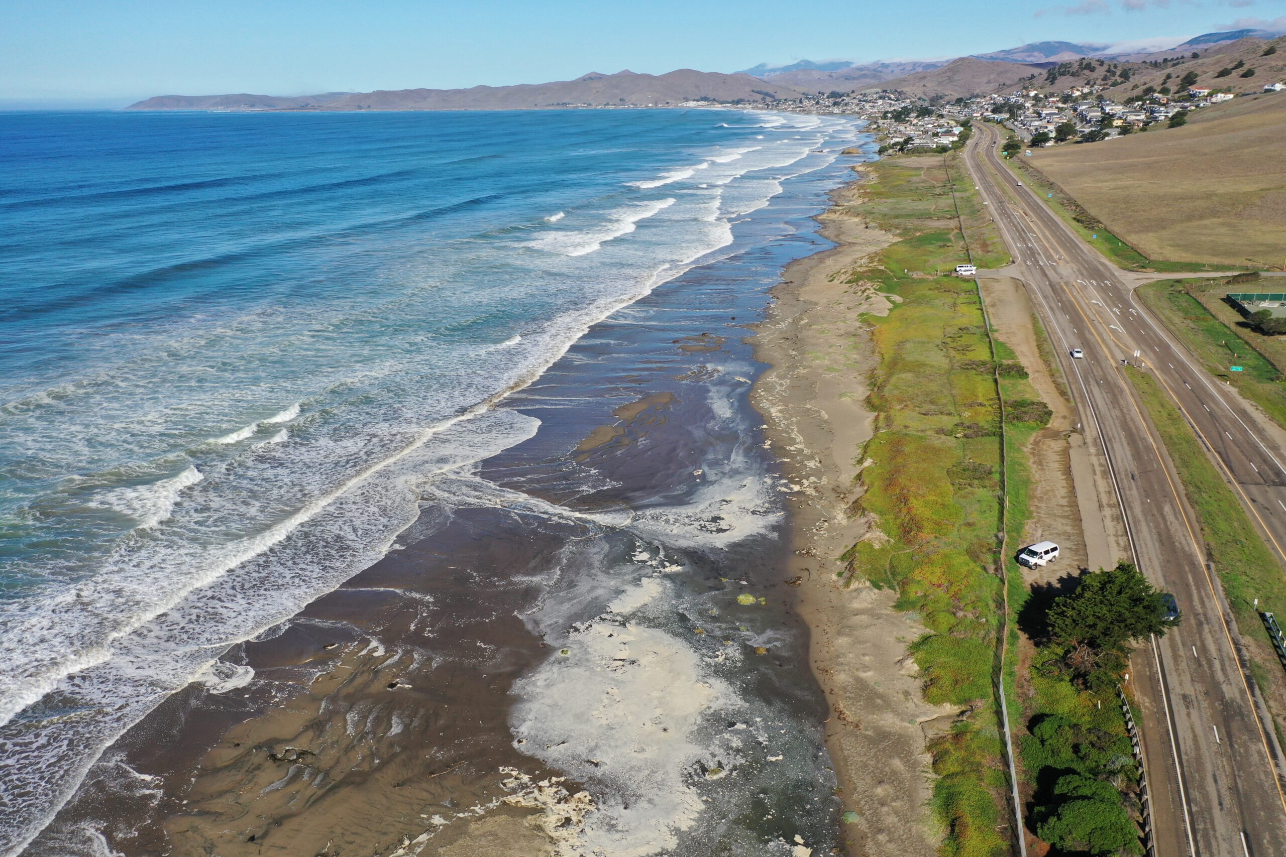
Along much of the San Luis Obispo County coast, the king tide is expected to peak around 8:15 a.m. Dec. 4, 9 a.m. Dec. 5 and 9:50 a.m. Dec. 6. Exact times vary by location.
- Visit the Morro Bay Natural History Museum between 8:30 and 10 a.m. Friday, Dec. 5, or go to your nearest coastline during the high tide on Dec. 4, 5 or 6.
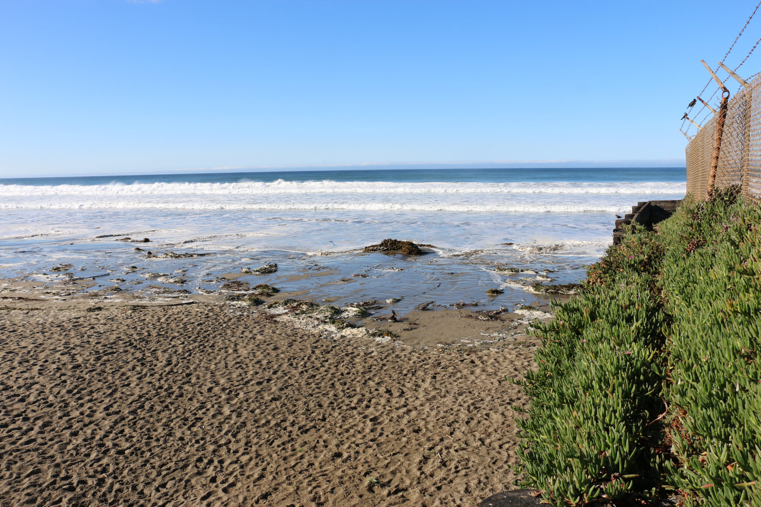
- Take photos of the king tide, ideally with location services enabled on your phone.
- Upload your images to the California King Tides Project website at
- coastal.ca.gov/kingtides/participate.html.
Photos may be added to statewide maps of king tide locations and used in presentations, exhibits, websites and publications focused on sea-level rise, coastal planning and climate action.
Tide and Seek: A new way to engage with the King Tides Project
This year’s event introduces Tide and Seek, an activity designed to engage more students and community members by turning king tide photography into a game.
Three maps highlight coastal locations where participants can take king tide photos. Each uploaded photo lets players check off a spot. Participants can play individually or as a team. Sea-level experts will review entries, with prizes awarded for:
- Most complete map
- Best overall king tide photo
To be eligible for prizes:
- Take photos during the peak high tide using a phone with location services turned on or note locations manually if using a camera.
- Upload photos to the California King Tides Project website.
- Email your photo collection to SLO_KingTides@office.calpoly.edu.
Tide and Seek maps
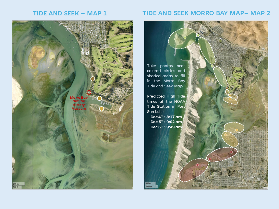
- Map 1 — Morro Bay Mini Map
A mini map for Dec. 5 features three locations within walking distance of the Morro Bay Natural History Museum. Take a photo of the king tide at each location and upload it to the California King Tides Project website. Participants who photograph all three sites can visit the event stand to receive a Junior Ranger sticker. - Map 2 — Morro Bay Map
For those who want to explore more of Morro Bay, a second map highlights additional locations around the bay. Take photos with location services enabled, upload them to the King Tides Project website and email your photo collection to SLO_KingTides@office.calpoly.edu to be considered for the Best King Tide Photo prize. - Map 3 — San Luis Obispo County Coastline
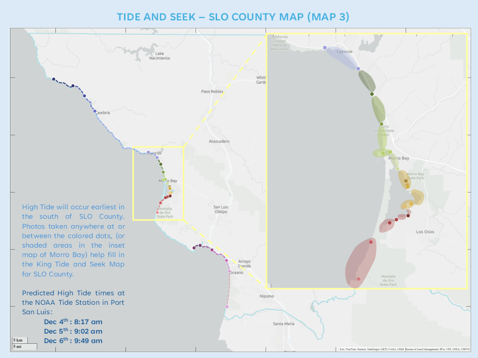
The third map covers the full San Luis Obispo coastline. Because of the coastline’s length, photos taken during the peak high tide on any of the Dec. 4, 5 or 6 king tide days qualify, including team efforts. High tides arrive earlier in the southern part of the county, so peak times will vary by location.
About the California King Tides Project
The California King Tides Project is a statewide initiative led by the California Coastal Commission, with support from California State Parks and local partners, to document extreme high tides along the coast. These images help scientists, planners, educators and policymakers better understand how rising seas may affect beaches, wetlands, infrastructure and coastal communities.
Cal Poly’s Civil and Environmental Engineering Department supports local outreach for the project in San Luis Obispo County, encouraging public participation and connecting community observations to long-term sea-level research.