
Beyond the Map: New Geospatial Focus Expands Civil Engineering at Cal Poly

Before a civil engineering project takes shape, engineers study the land and the conditions that could influence the design. Whether they are mapping a road or studying a changing shoreline, geospatial engineering widens that view with another question: What else does the project touch?
Beginning this fall, Cal Poly’s Civil and Environmental Engineering Department will offer geospatial engineering as a new subdiscipline, giving students a sharper way to understand where projects sit and who may be affected. The focus will prepare them to work with location-based data — from traffic patterns to land use — and apply it to everyday design decisions.
Department Chair Bing Qu said the new option is part of a broader effort to prepare the program for its next era following Cal Poly’s transition from quarters to semesters. The department will offer six subdisciplines: structures, water resources, transportation, geotechnical, construction and geospatial engineering.
All civil engineering students will still receive the same degree designation. Their areas of focus will be reflected through the technical electives and coursework they complete.
Alireza Shams, a new tenure-track faculty member in geospatial engineering, said the field can bring more information about a site into engineering design.
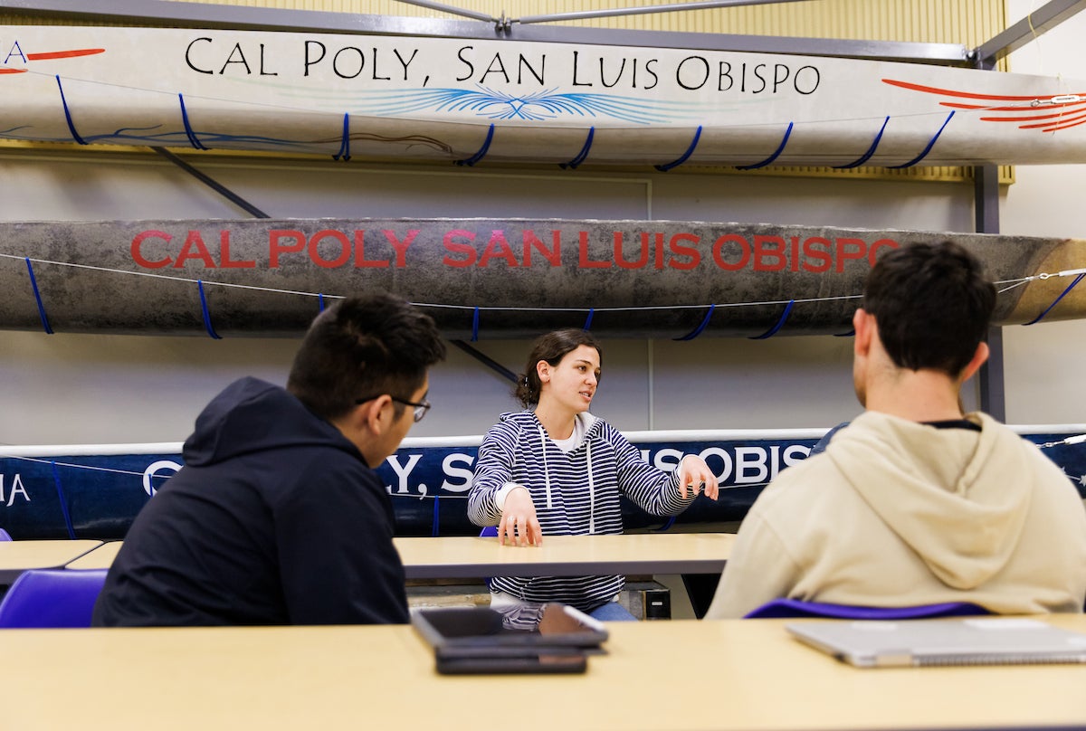
Civil engineers have long used drawings and maps to plan projects. Geospatial tools add another layer, helping students understand how a project fits within the land around it and the people it serves. A road drawing can show where pavement or intersections might go. Geospatial data can reveal who relies on the road and whether nearby streets can handle future demand as travel patterns change.
“When you combine geospatial data with economic and infrastructure information, it helps create designs that are more informed and better aligned with real-world conditions,” Shams said.
GIS, or geographic information systems, brings different kinds of location-based information into one place, allowing students to consider factors beyond the project boundary.
Shams said a transportation project offers a clear example. A proposed store may appear to fit on a site, but the surrounding transportation network may struggle with added traffic. A geospatial approach can help students evaluate whether nearby streets can handle more vehicles, whether delivery trucks can move through the area safely and whether road improvements may require additional right-of-way.
The same thinking can apply to coastal engineering, where students might examine how shoreline changes could affect nearby homes and infrastructure. In wildfire recovery, satellite imagery and GIS data can help compare conditions before and after a disaster. These tools can help engineers assess damaged roads, evacuation routes and other critical infrastructure tied to a specific place.
More data is available than ever before, but students need practice turning it into meaningful analysis.
“There is so much data out there,” Shams said. “My goal is to help students learn how to integrate that data with engineering principles to make better decisions and solve problems in new ways.”
The first course in the new area is expected to introduce students to fundamental concepts in GIS and geospatial engineering. Shams said the focus will be on helping students work with spatial datasets and apply location-based information to practical engineering challenges.
He also sees the new subdiscipline as a way to strengthen the Learn by Doing experience. Students could eventually use geospatial tools to support local agencies, bringing classroom knowledge to practical engineering problems that matter to nearby communities.
The new focus could also open doors for graduates. Because location-based data helps shape decisions from transportation planning to disaster recovery, Shams said geospatial experience can give graduates an edge.
“The demand for professionals who can analyze and apply geospatial data continues to grow, making these skills valuable across many sectors of civil engineering,” he said.
At its core, the new subdiscipline helps students connect engineering choices to the places they will affect. By bringing location-based data into the process, geospatial engineering gives future civil engineers a clearer way to understand the surrounding community and infrastructure so their designs can better serve the people who rely on them.


